Granada Geopark ES
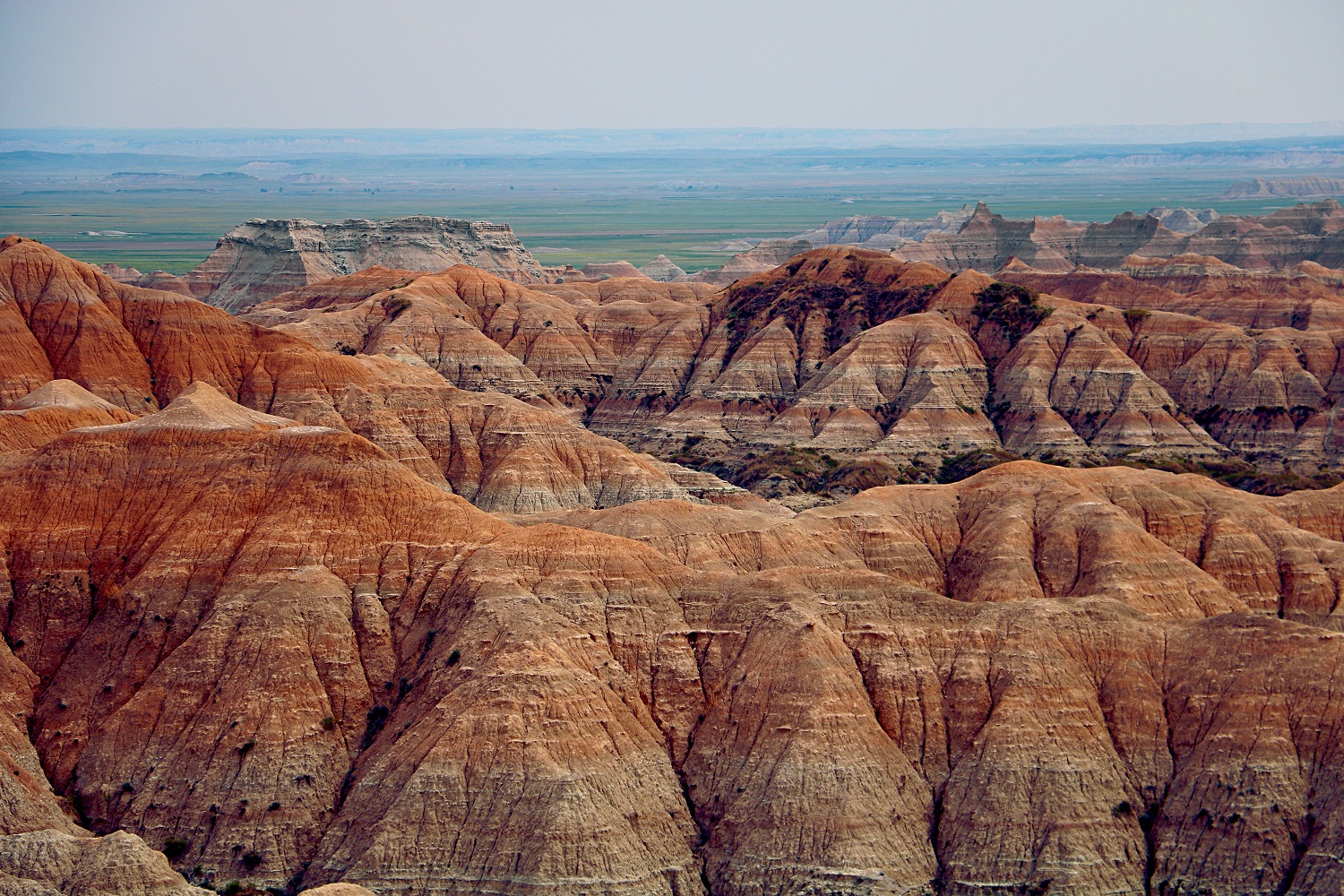
The present-day valleys in the north of Granada were created by rivers draining towards the Atlantic Ocean during the last half million years. Prior to this, a period of some 5 million years, the territory of the Geopark was formed by a river system with no exit to the sea, and its waters drained into a large lake. This period resulted in one of the best sedimentalogical records of the Quaternary in Europe.
Homepage of the Granada Geopark
Download a map of the park
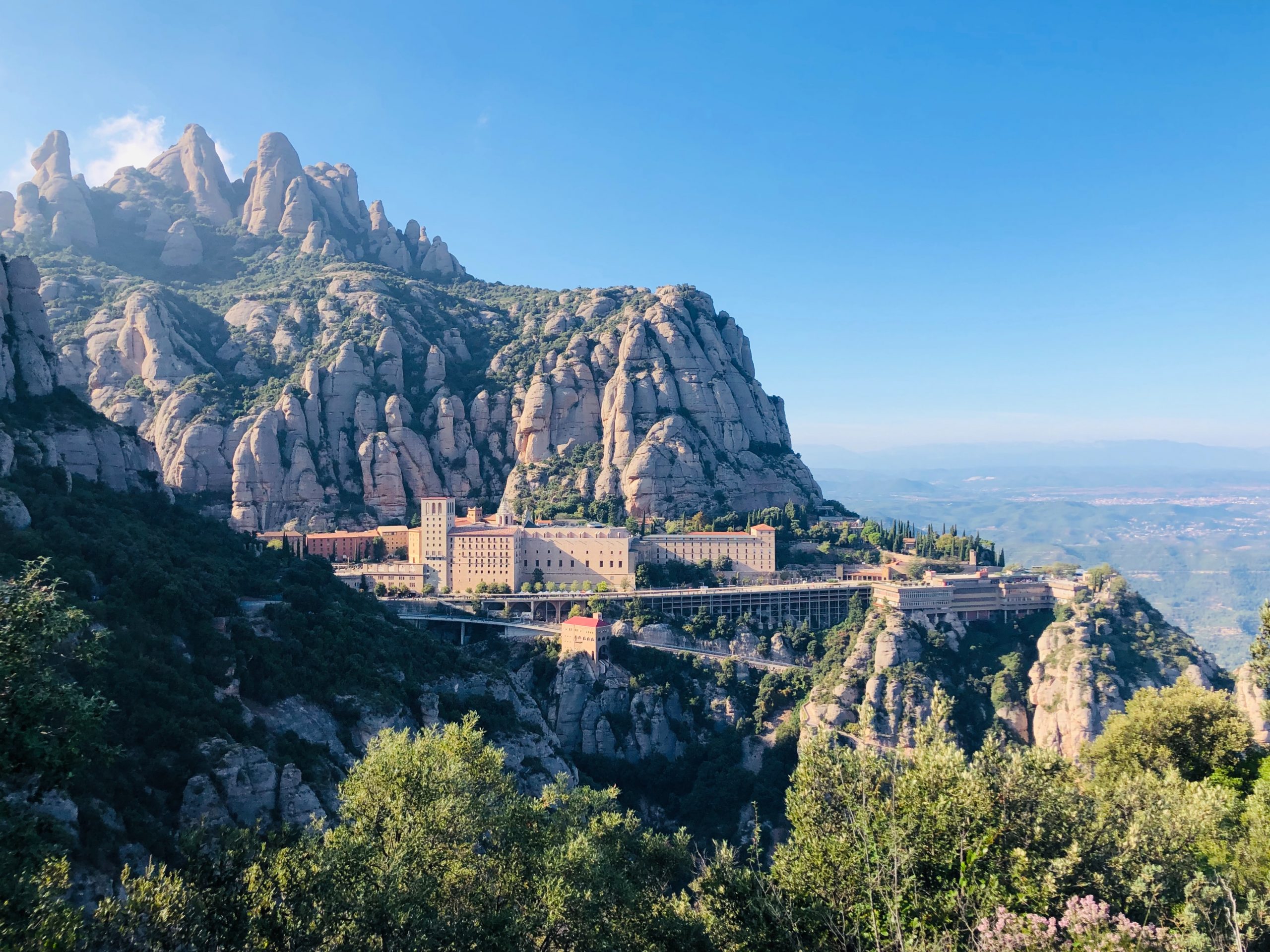
Central Catalonia Geopark CAT
During the Eocene (37-41 million years ago), Central Catalonia was below sea-level with a mountainous hinterland that extended southwards beyond the current Balearic Islands. The rivers flowing from these mountains deposited their sediments in the form of the alluvial fans which are exposed today in the massifs of Montserrat, St. Llorenç, and Montsant
Homepage of the Central Catalonia Geopark
Download a high resolution map of the park
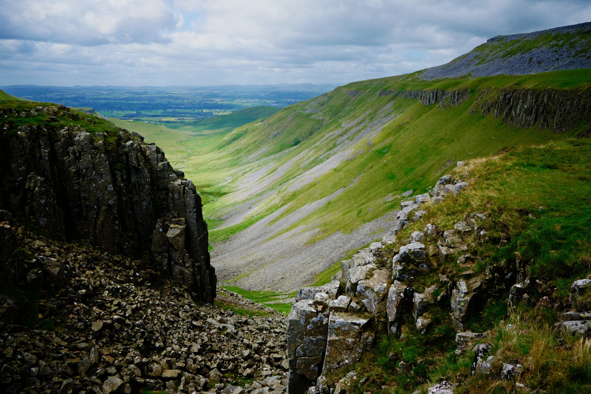
North Pennines Geopark UK
The North Pennines Geopark is an upland area in the north of England, stretching across large parts of the counties of County Durham, Northumberland and Cumbria. Dominantly Carboniferous and Permian stratigraphy, it is nationally designated as an Area of Outstanding Natural Beauty (AONB) and a Category V Protected Landscape (International Union for Conservation of Nature).
Homepage of the North Pennines Geopark
Download a map of the park
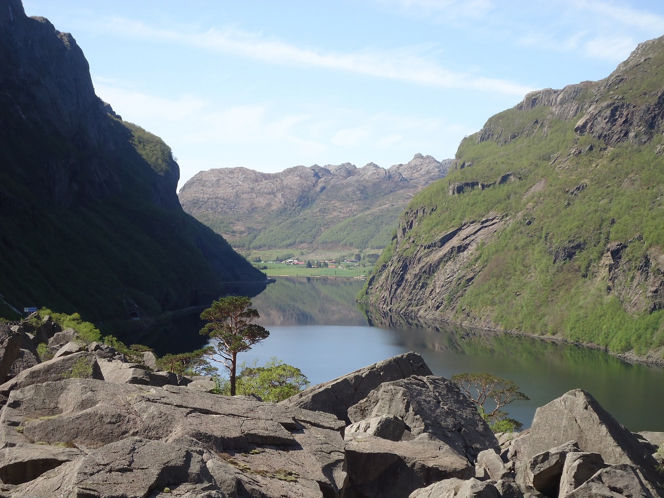
Magma Geopark NO
The name ‘Magma Geopark’ refers to the igneous origin of the rocks in the park, formed about 930 million years ago. Amongst the different rock types in the park there are large volumes of anorthosite, an unusual rock type globally, but familiar to everyone in the reflected light of the moon
Homepage of the Magma Geopark
Download a map of the park
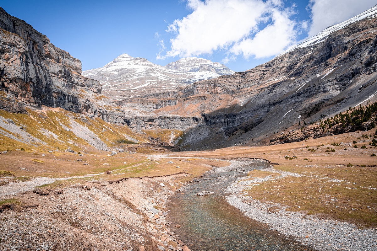
Sobrarbe-Pyrenees Geopark ES
The Sobrarbe-Pyrenees Geopark spans the main geological elements of the central Pyrenees: the highly deformed axial zone, the inner mountain range of massive Cretaceous limestone (Monte Perdido), and the Tertiary Ainsa basin
Homepage of the Sobrarbe-Pyrenees Geopark
Download a map of the park